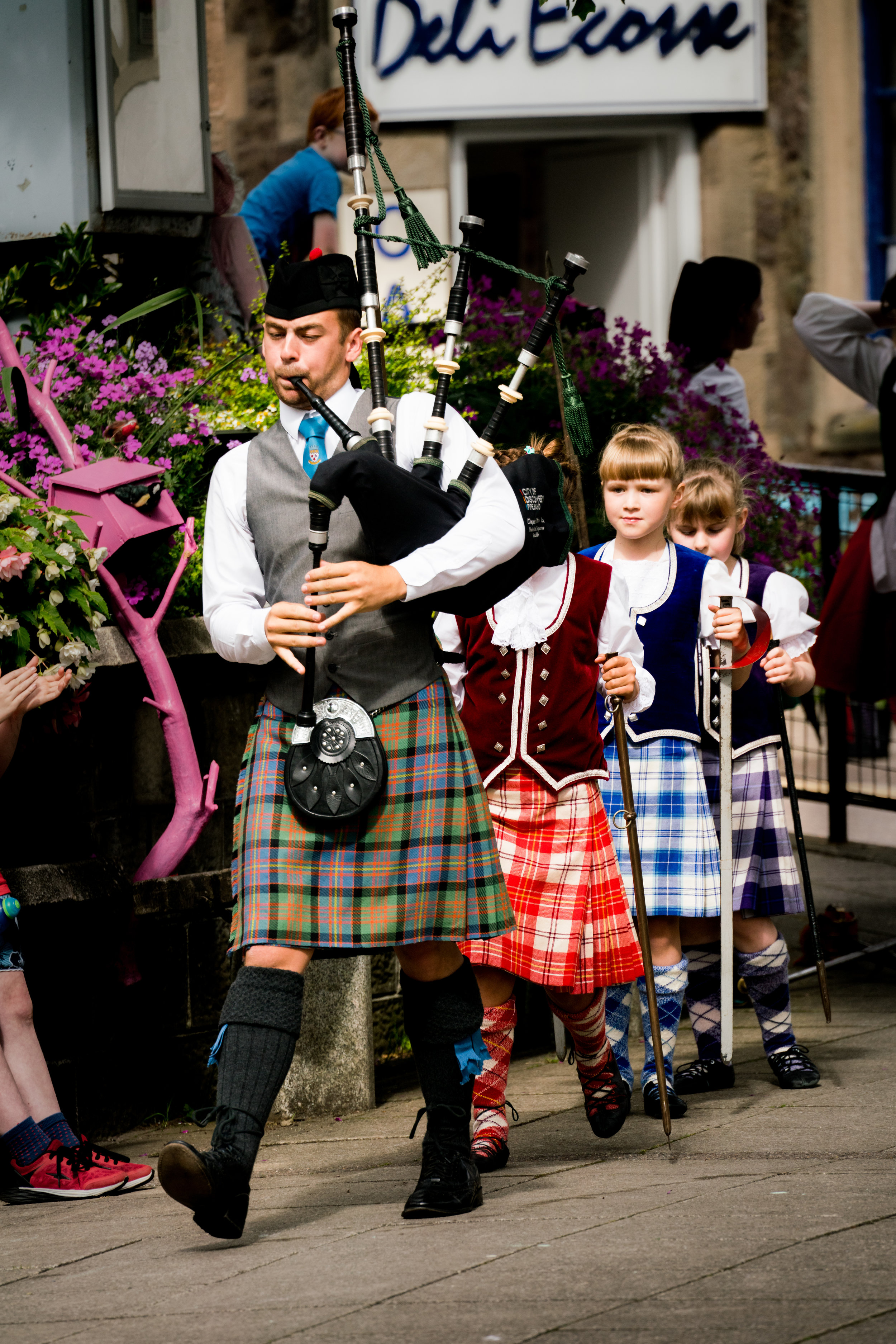
Kilts & Bagpipes :: Callander, Scotland
As we drove the long drive from Isle of Skye back to Edinburgh for our flight to Ireland the next morning, we passed again through Loch Lomond & the Trossachs National Park. We stopped in the little town of Callander so the ladies could do a little shopping. The men and others less interested in shopping got some coffee at a coffee shop. And then as we sat sipping our coffee, we heard bagpipes in the distance! So we meandered down the block to the main square where kilt-wearing bagpipers and kilt-wearing dancers took turns doing all sorts of traditional Scottish dances! What a pleasant surprise!
The dancing happened in front of St. Kessog's Church
A bow before the dance
Cute blond Scottish girl ready and confident
Marching in for the sword dance
Scottish bagpipes
Laying down the swords for the sword dance
Dancing the Scottish sword dance
Dancing the Scottish sword dance
This post is part of a series of posts about my family's British Isles trip in July/August of 2016. My parents and four siblings joined me as we went from London to Dublin and everywhere in between in 2.5 weeks. Here's our itinerary:
- London (England)
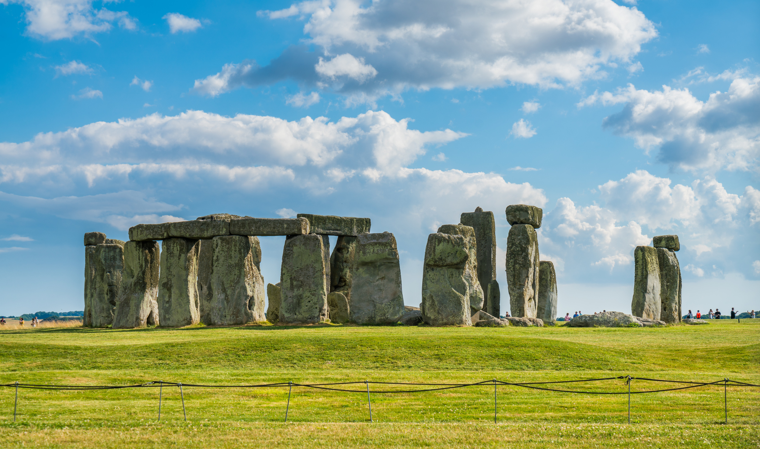
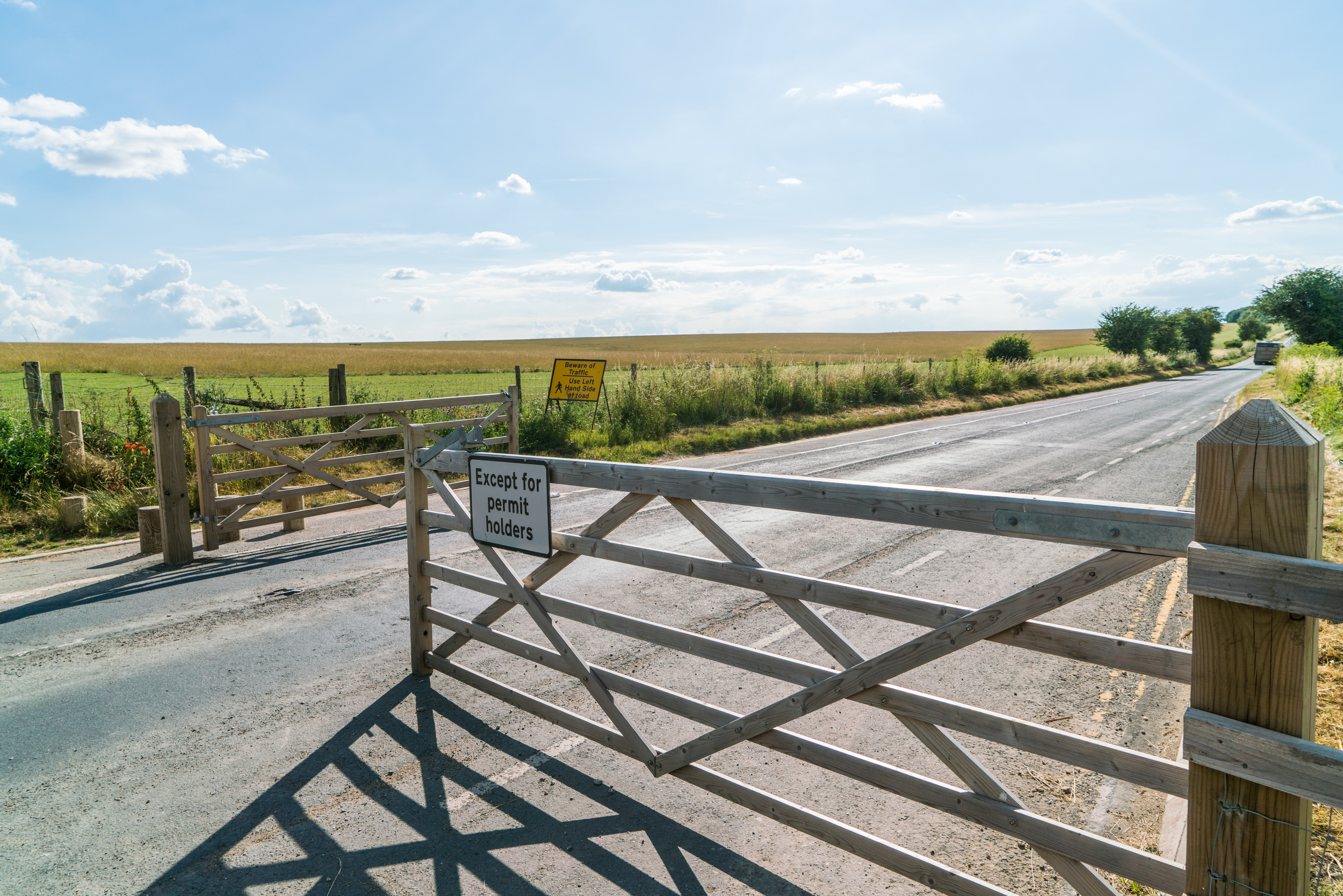
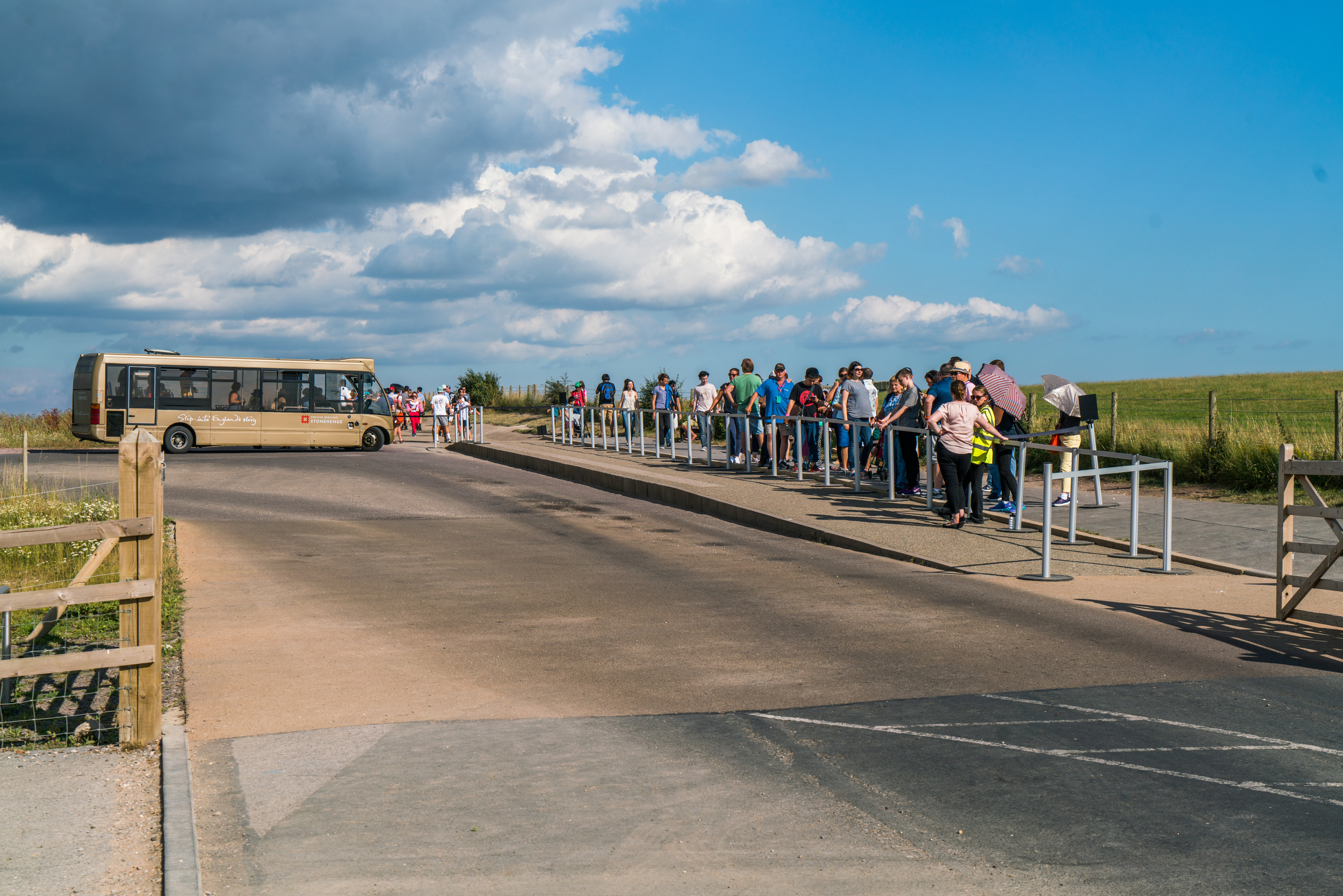
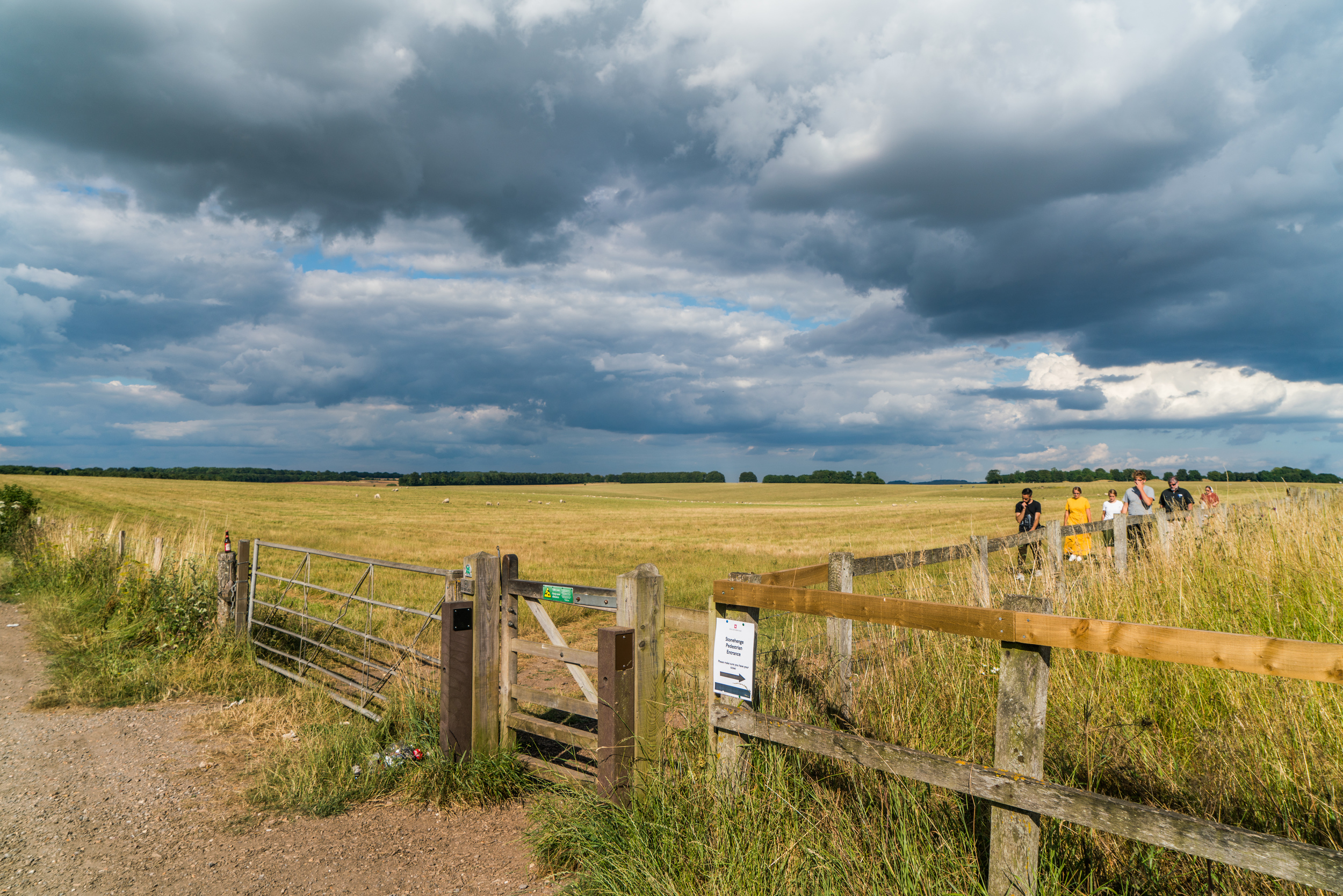
- Stonehenge (England)
- Oxford (England)
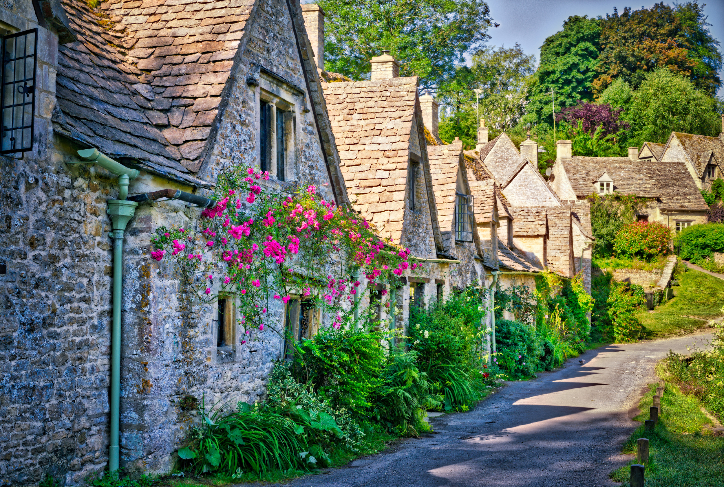
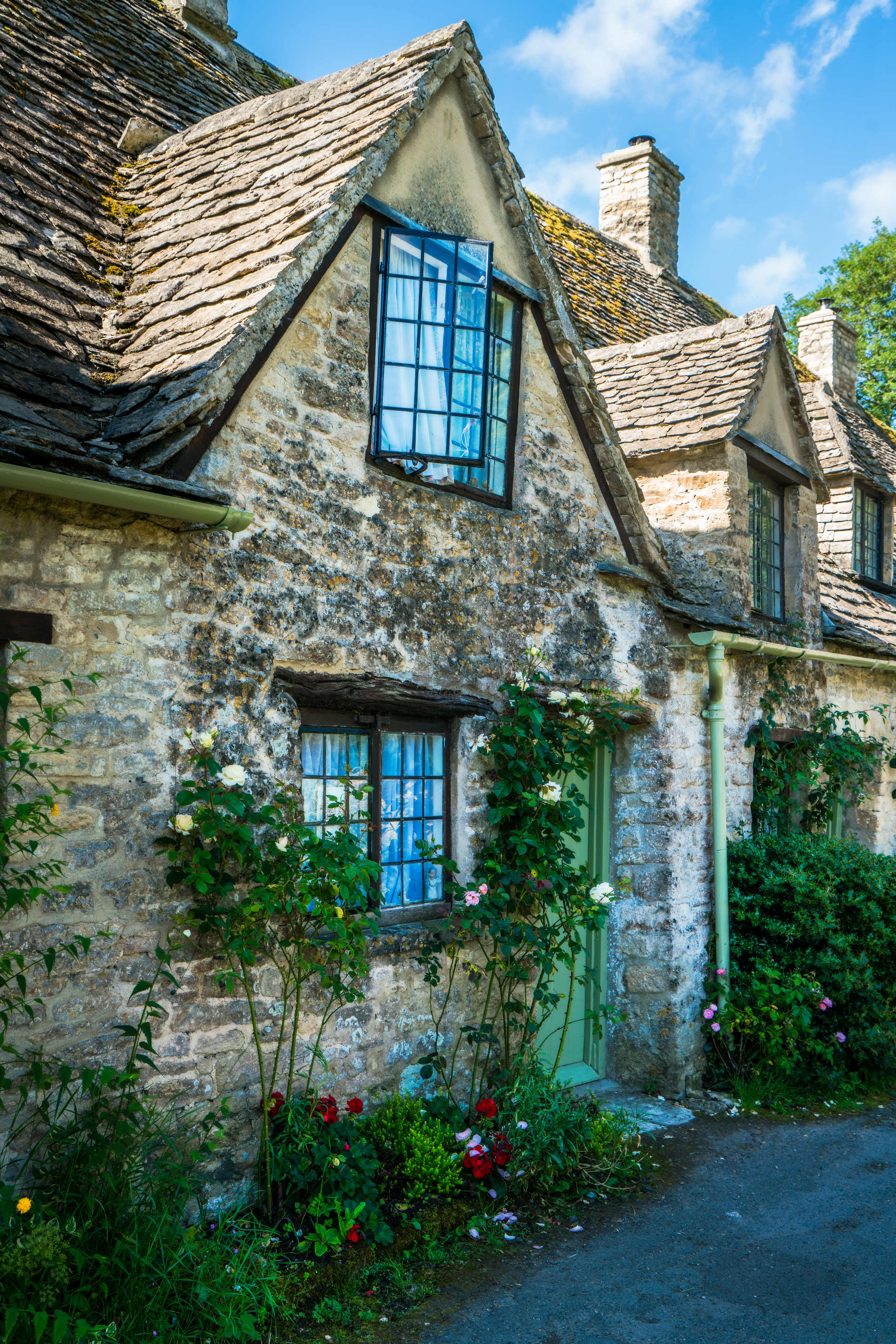
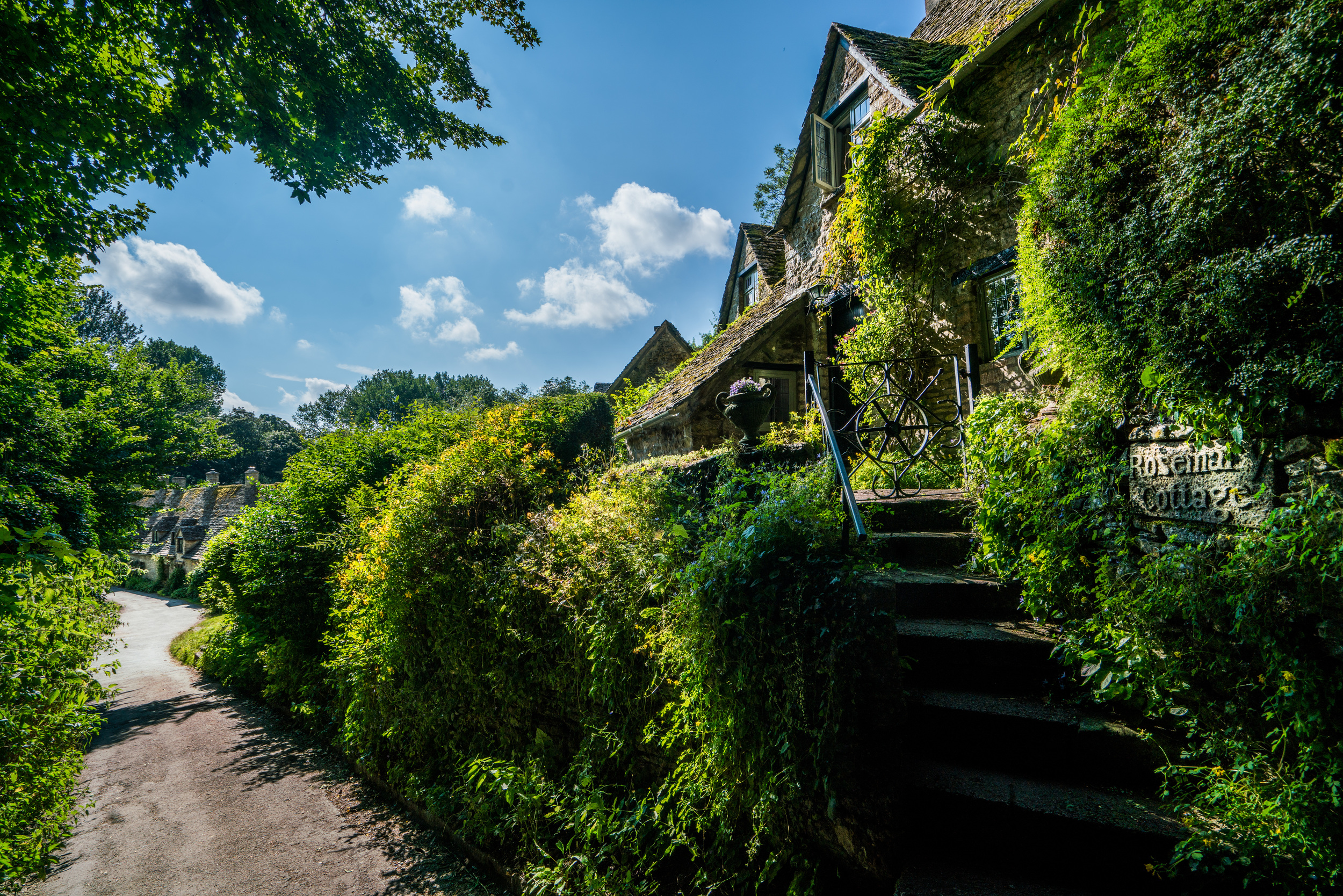
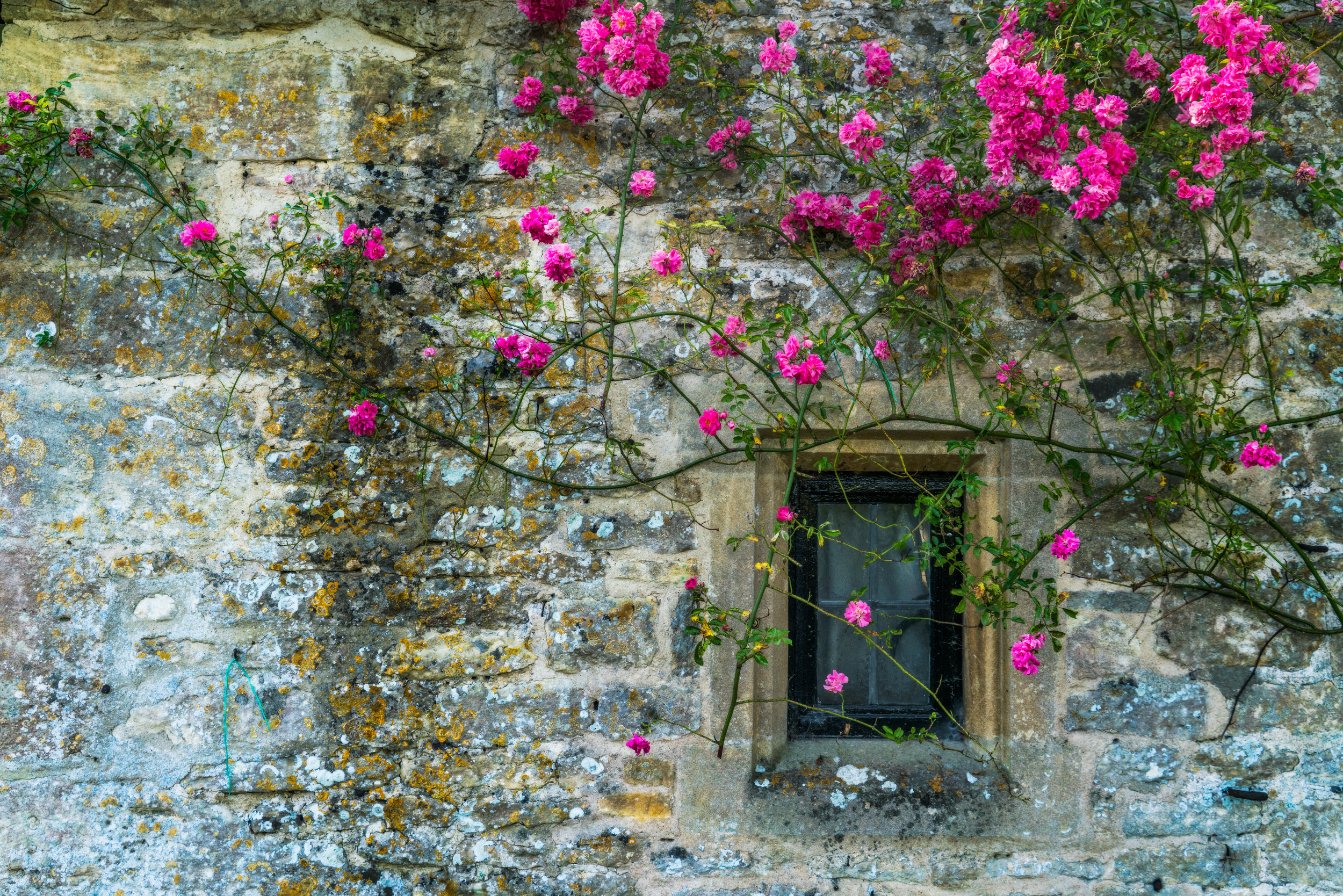
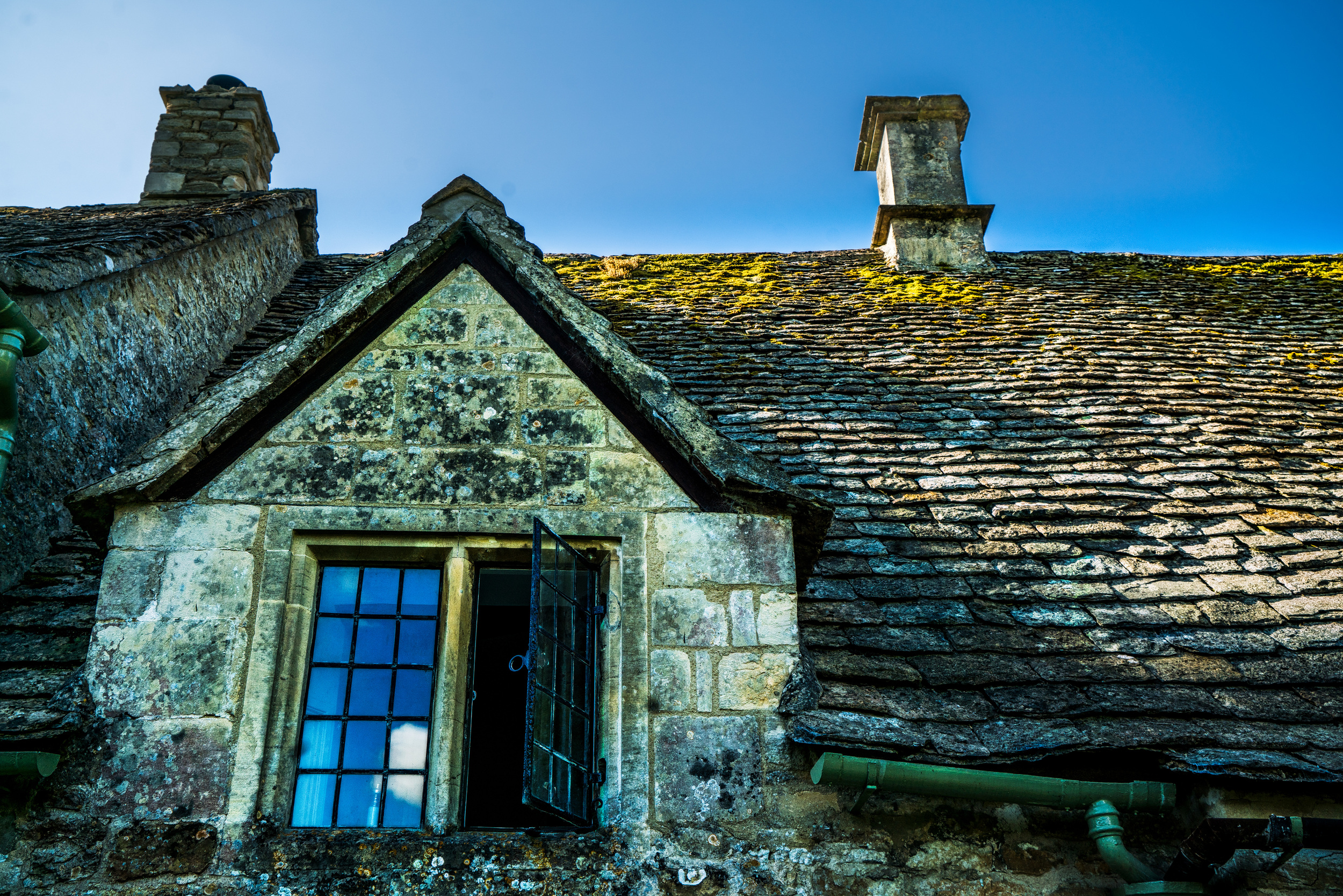
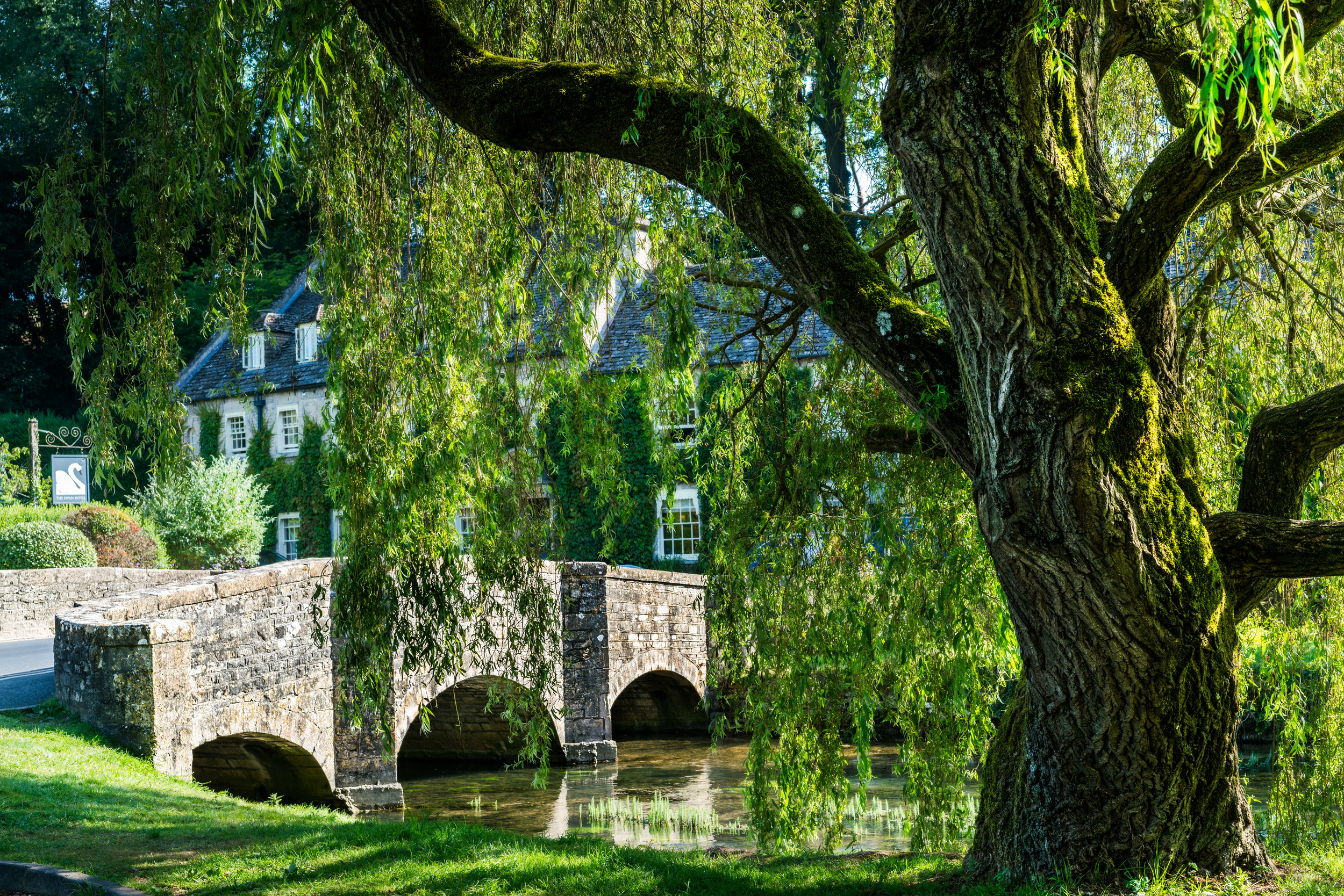
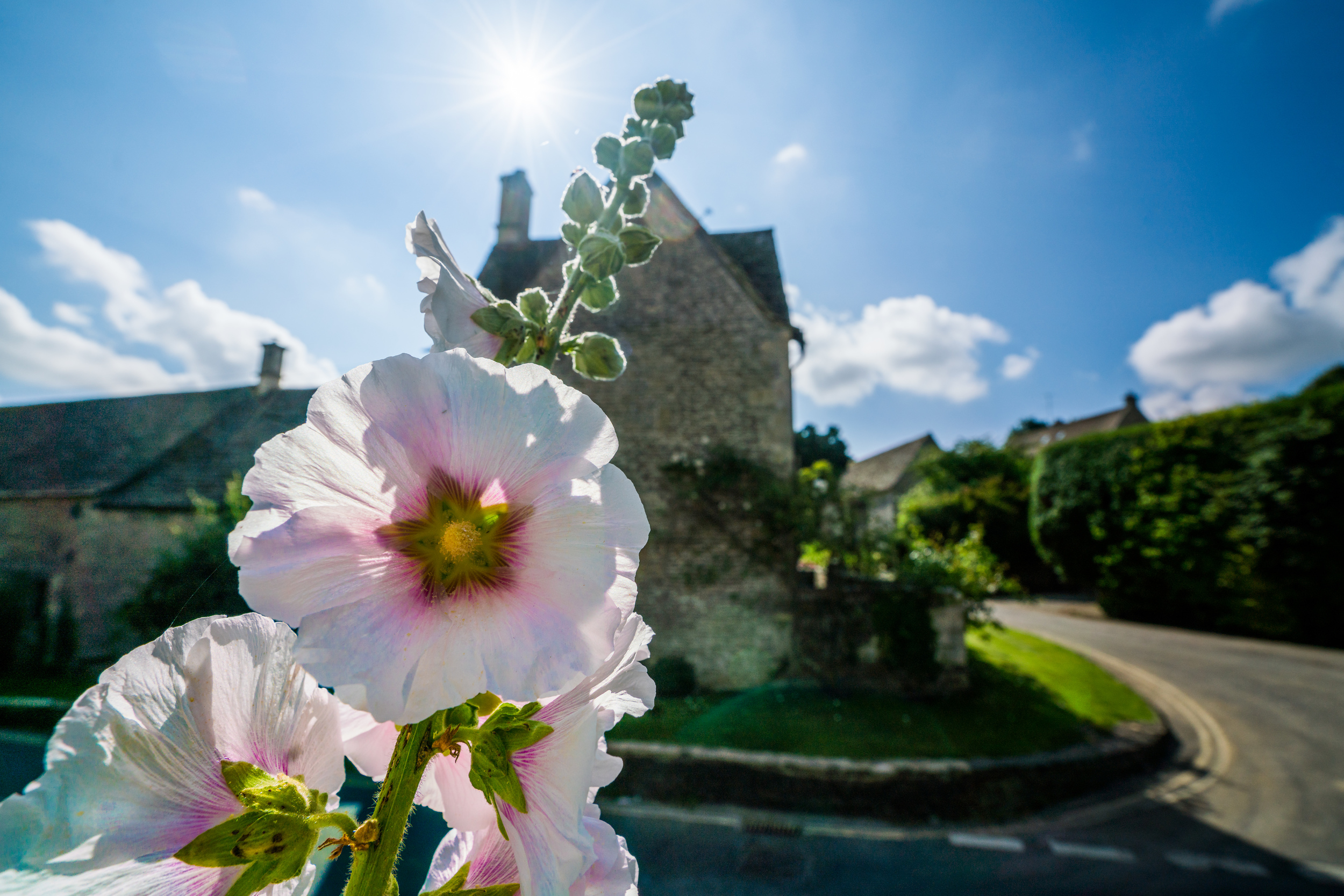
- Bibury, Cotswolds (England)
- Wales
- Peak District (England)
- Chatsworth House (Peak District, England)
- Yorkshire and Staithes (England)
- Foggy Scottish Highlands (Scotland)
- Bright Scottish Highlands (Scotland)
- Kilts & Bagpipes (Scotland)
- Edinburgh (Scotland)
- Northern Ireland
- Waterford/Dunmore East (Ireland)
- Western Ireland and the Cliffs of Moher (Ireland)
- Dublin (Ireland)